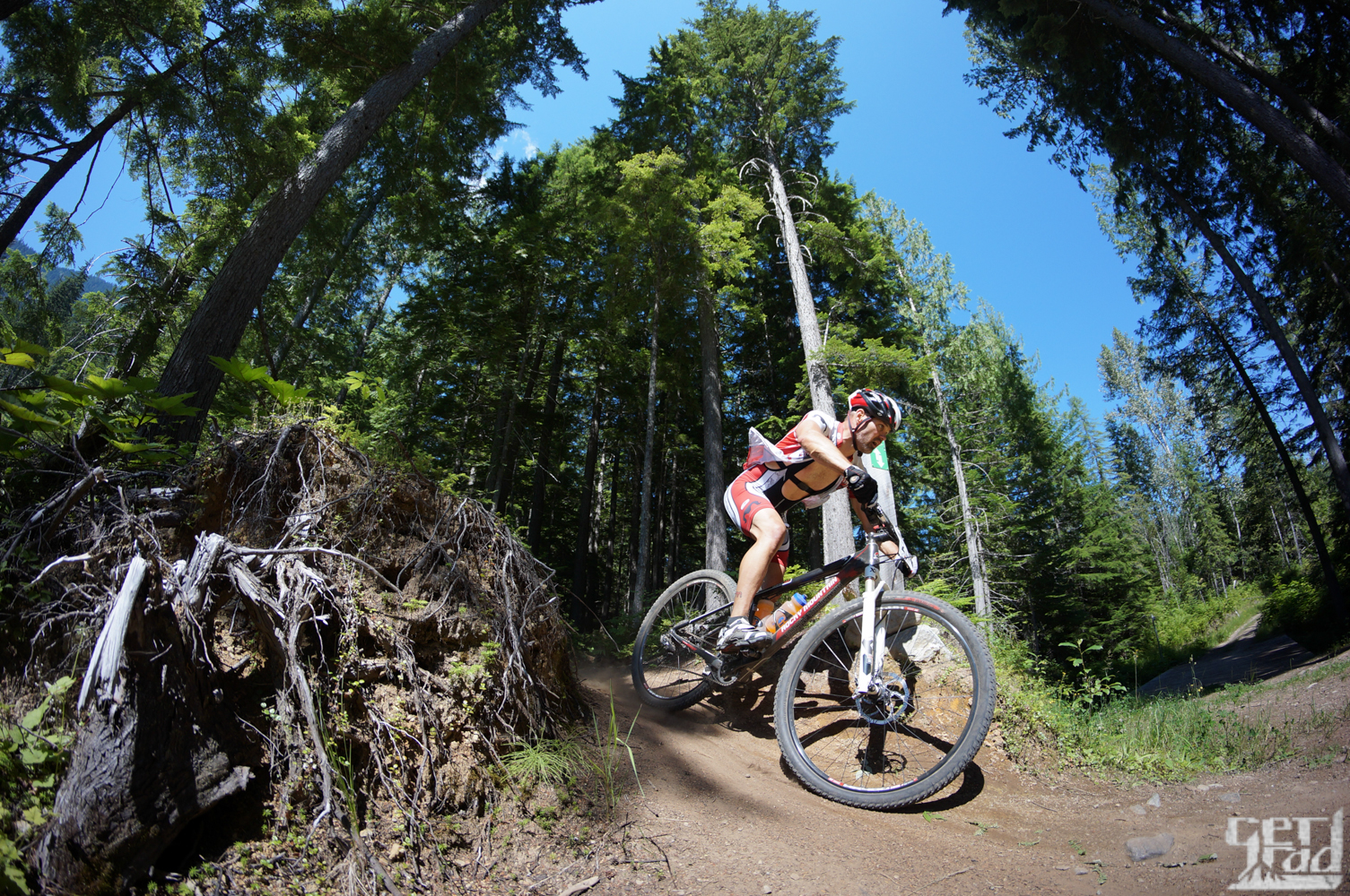
Mount Macpherson is Revelstoke’s playground for outdoor activities! It offers rock climbing, nordic skiing, and easy access to back country skiing. But the best part of Mt Macpherson is the great network of classic Revy single and double track mountain biking!
Access:
Mount Macpherson Parking – From Revelstoke go west on the TCH, turn south on Hwy 23 and drive for 7.5 km, the parking area is on the west side of the highway. The Revelstoke Nordic Ski Club lodge is here (no summer services), a large car park, a trailhead kiosk, a donation vault, and an outhouse.
Griffith Creek Parking – From Revelstoke go west on the TCH, turn south on Hwy 23 and drive for 5.4 km, turn west on the Griffith Creek FSR (there is a small sign to watch for). Follow the FSR for about 300m to a small car park, creek, and trailhead kiosk. There is no outhouse.
Flowdown Trailhead – From Revelstoke go west on the TCH, turn south on Hwy 23 and drive for 2.8km and turn west. There is no kiosk at present, look for a small dirt parking area at the bottom a road heading up the hydro line. The trail starts 25m up the road on the left.
.
Begbie Creek Parking – From Revelstoke go west on the TCH, turn south on Hwy 23 and drive for 8.6km. The signed parking area is located on the east side of the highway. There is an outhouse. Stimulus is just across the highway 50m to the south.
.
Begbie Falls Trailhead – From Revelstoke go west on the TCH, turn south on Hwy 23 and drive for 2.6km, turn east onto the Mt. Begbie Road. Follow the road where it is paved and then continue straight as it turns into gravel. Where the road splits follow the Begbie Falls FSR leading towards Begbie Falls until you see the biking trailhead kiosk and parking area.
.
Tantrum Trailhead – From Revelstoke go west on the TCH, turn south on Hwy 23 and drive for 1.7km, turn west onto a small gravel road, a trail sign is located 100m down this road.
.
The Riding: Macpherson offers 40km of classic Revy single track, of all difficulties, inter-connected with logging roads. There are endless variations of link-ups awaiting. The trails are well signed, with the possible exception of the newest sections under construction (ignore the handful of old wooden signs).
.
Need a map? You can get a great up-to-date waterproof map at local bike shops. Proceeds from maps sales go to the RCA, so purchase a map and support the RCA!